Tag Archives: trailhead

New Garfield Ledges trailhead

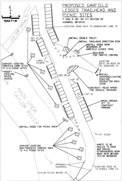
Five years after filing a plan to build a trailhead at the Dingford junction just past the Taylor River bridge the Forest Service began work on the new Garfield Ledges trailhead. It includes a two vault toilet, 4 parking pullouts, and eventually 14 picnic tables. This new trailhead also solves a problem that began in November 2015 when a series of floods washed out the 1/4 mile spur road to the Taylor trailhead leaving few parking spots for the popular hike to Lipsy Lake and Otter Falls. The washouts were too deep for most vehicles to drive through and eventually the road was blocked by barriers in November 2017 and continues to be. But at least there are plenty of parking spots now for all but the busiest weekends.

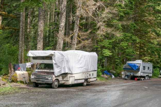
In the past this area just beyond the bridge was a very popular camping area with four dispersed camp sites along the Taylor river. Last summer a couple parties parked their RVs next to the sites and used them for at least the maximum 14 day stat. All of the sites have been converted to day use areas with picnic tables and it may come as a surprise when people drive up to use their traditional site and find out that camping is no longer allowed here.

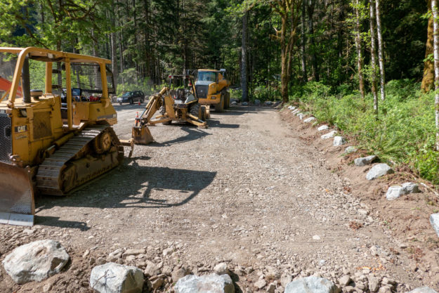
Simultaneously with the trailhead going in work resumed on the Garfield Ledges trail which starts to climb right behind the bathroom. Last year the last third of the trail was built by hand and now an excavator is being used to slowly carve out the trail beginning at the bottom.
20130930GarfieldLedgesTrailhead01

Early plans for the Garfield Ledges trailhead from the September 30, 2013 SOPA document for the Middle Fork Recreation Hub Project. It took 5 years for this to become a reality.

20171221GarfieldLedgesTrailhead02

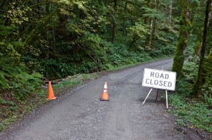
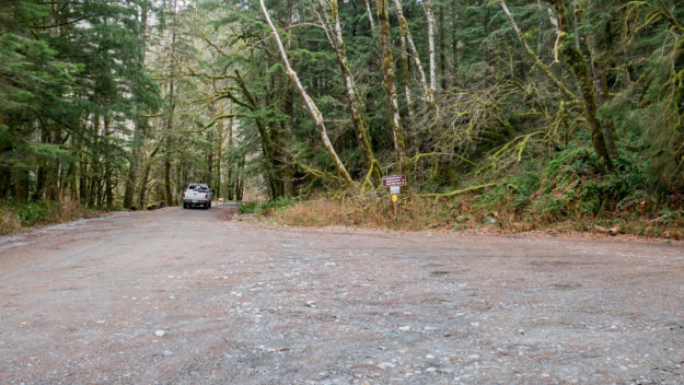
Dingford junction in December, 2017 before work began. The jersey barriers blocking the spur road to the Taylor River trailhead were installed in November, 2017.
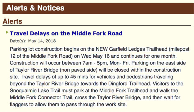

20180514GarfieldLedgesTrailhead03

The USFS published an alert on their website about travel delays on May 14, 2018. Work began and May 16 and as promised was completed within about a month except for installation of the picnic tables.
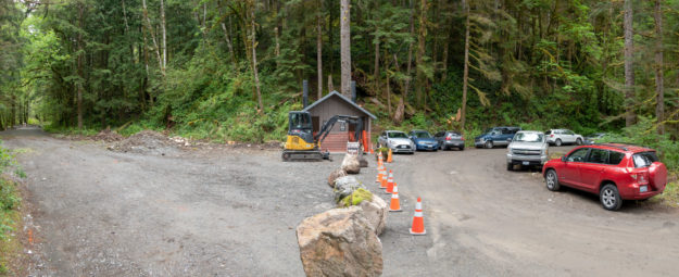

20180520GarfieldLedgesTrailhead04

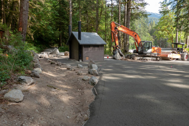
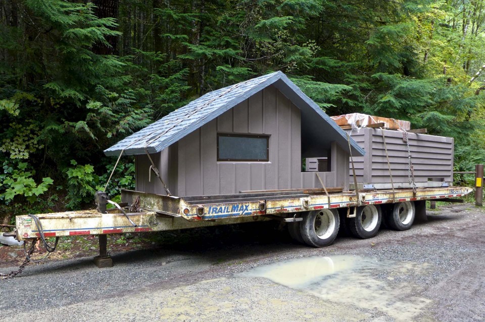
Work began in mid-May, 2018 with the first big change being the addition of a new two-stall bathroom.
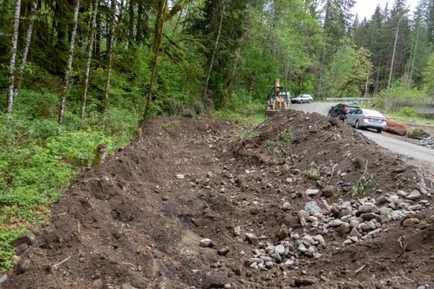

20180520GarfieldLedgesTrailhead05

View of new bathroom looking down valley toward the Taylor River bridge


20180520GarfieldLedgesTrailhead06

New bathroom with big rocks blocking doors to prevent early access!


20180520GarfieldLedgesTrailhead07

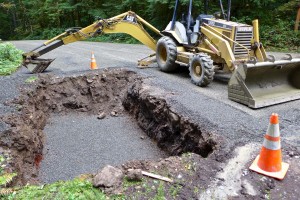
Creating a new parking pullout begins by digging a pit and filling it with gravel to ensure good drainage.
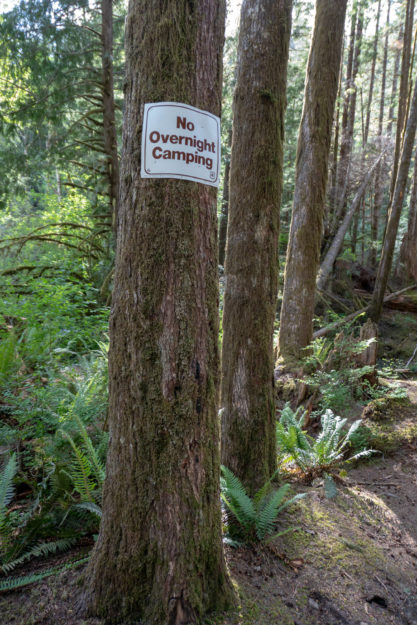

20180522GarfieldLedgesTrailhead08

New parking pullout with new gravel drainage base


20180522GarfieldLedgesTrailhead09

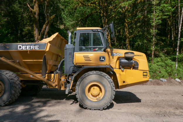
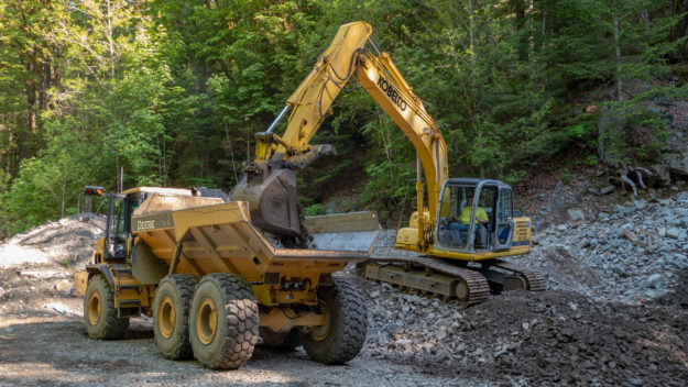
Big equipment used to haul gravel and debris up and down from the Hell Hill pit


20180522GarfieldLedgesTrailhead10

Most of the larger gravel used for fill came from the pit at the top of Hell Hill


20180615GarfieldLedgesTrailhead11

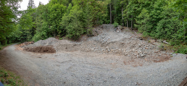
Hell Hill gravel pit usage is done for now and it was left somewhat cleaned up


20180529GarfieldLedgesTrailhead12

New surfacing gravel being trucked in for the top layer of the parking pullouts and picnic areas


20180529GarfieldLedgesTrailhead13

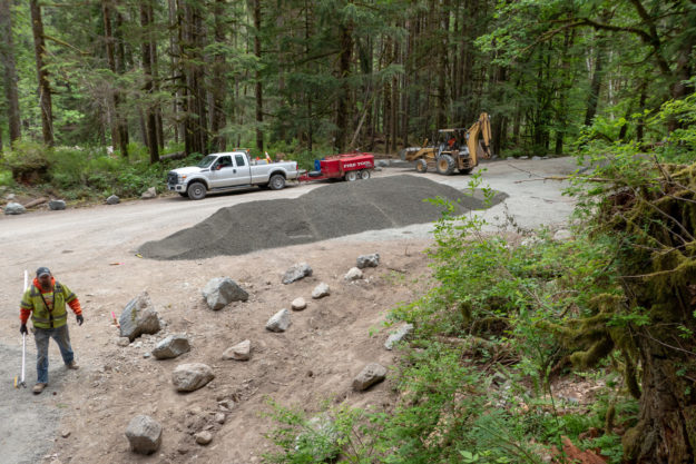
Lots of new gravel is spread around as the project progresses


20180529GarfieldLedgesTrailhead14

Picnic areas and parking pullouts get a top layer of gravel


20180529GarfieldLedgesTrailhead15

The Dingford junction area just beyond the Taylor River bridge has been a popular area for dispersed camping for many years. Camping is no longer allowed in this area.
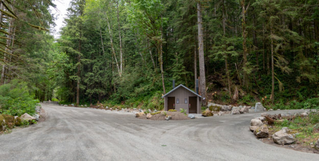

20170617GarfieldLedgesTrailhead21

Two RVs set up for extended stays at the Dingford junction in June, 2017


20180605GarfieldLedgesTrailhead16

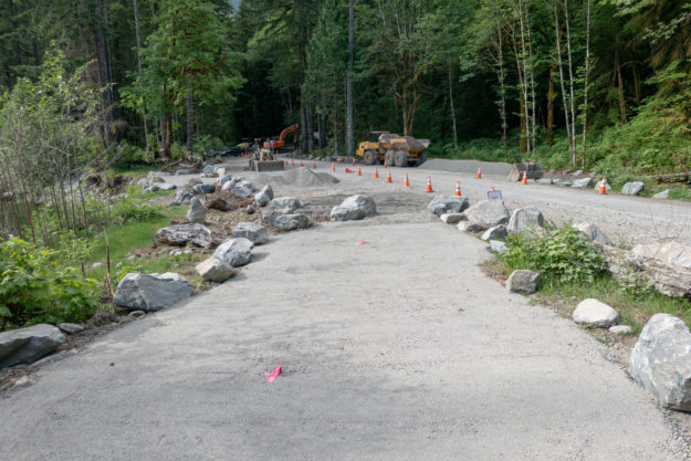
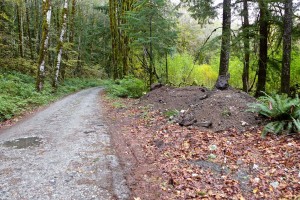
The completed project. The Taylor trailhead road to the left is still blocked. The road to the right climbs Hell Hill on the way to the Dingford trailhead.
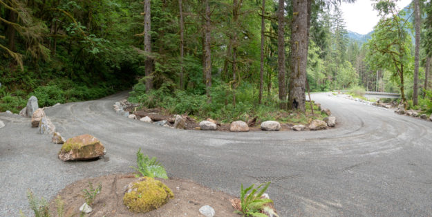

20180605GarfieldLedgesTrailhead17

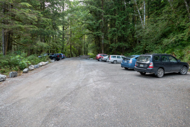
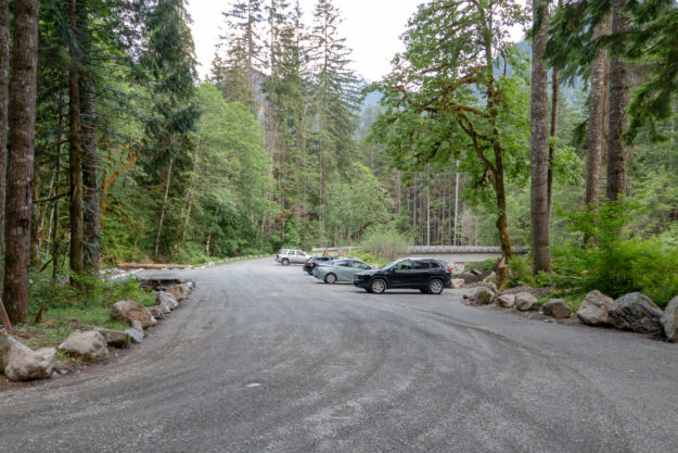
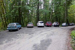
The completed project with many more parking spots than before


20180612GarfieldLedgesTrailhead18

The turn in the road for climb up Hell Hill and after 6 miles of potholes, the Dingford trailhead. A new culvert was installed on the left to avoid persistent muddy ground in this area.
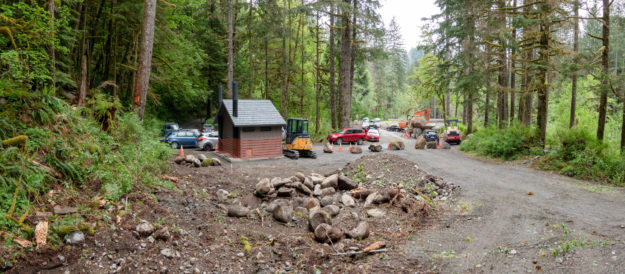
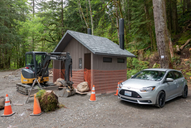
20180615GarfieldLedgesTrailhead19

Hikers begin using the new trailhead for trips up the Taylor River trail


20180615GarfieldLedgesTrailhead20

Hikers using the new trailhead

Comment period opens for Teneriffe trailhead

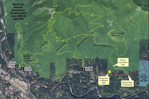
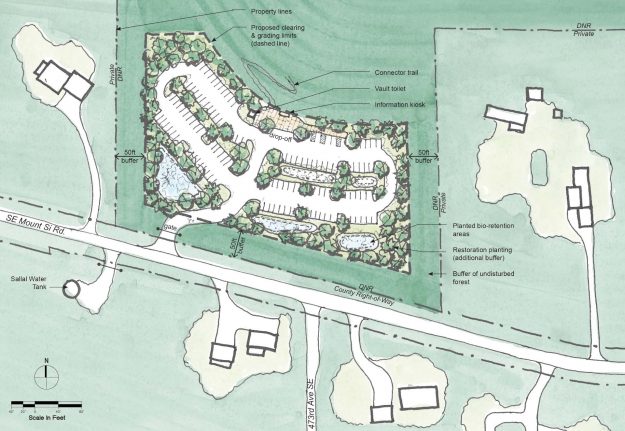
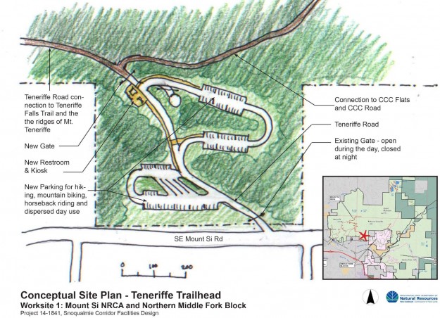
The DNR has released detailed project materials for a proposed new Teneriffe trailhead along the Mount Si road. The SEPA documents are available on the project’s web page and comments should be submitted by Sunday, July 24, 2016. The planed site is not at the school bus turn-around, but at a location closer to the Mount Si trailhead. The plan is very similar to the one discussed at the public forum in January, 2016

Update: In mid-August the DNR released the Notice of Final Determination for the Teneriffe parking lot project. Comments were generally positive but with concerns similar to those that came up in the public forums.

20160628ProposedTeneriffeParkingMap

Proposed Mount Teneriffe Trailhead location


20160628ProposedTeneriffeParkingPlan

Proposed Mount Teneriffe Trailhead – Site Plan (Draft for planning purposes only)

DNR hosts Teneriffe trailhead forum

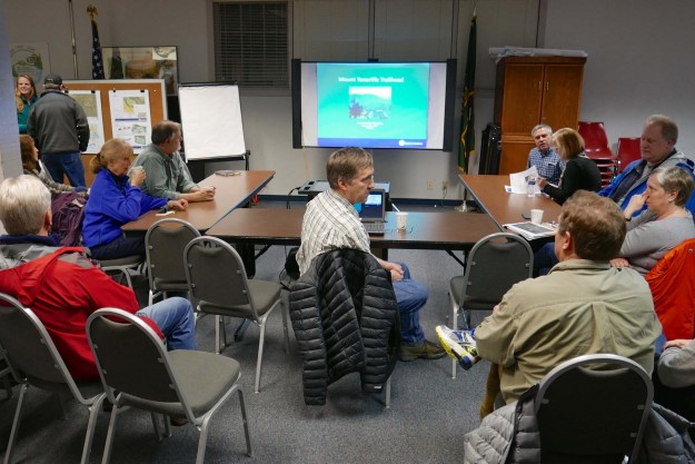
On January 26, 2016 the local DNR staff hosted a neighborhood forum to discuss early stage plans for a new trailhead at the base of Mount Teneriffe. The DNR had previously met with selected neighbors and scheduled a previous forum that was lightly attended because a strong windstorm hit the area that day. This event drew about 40 people, the higher attendance probably due to an article about the meeting in a local newspaper.

20160126TeneriffeTrailheadPlans01

Neighbors filter in as the DNR staff prepares to start the meeting

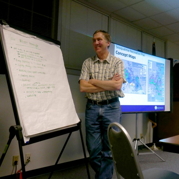
After a brief overview, Doug McClelland of the local DNR office fielded questions and concerns from the audience for over an hour and half. Doug emphasized that the DNR is not trying to draw more recreation related traffic up the narrow SE Mount Si Road, rather it is trying to solve a problem of inadequate parking at the school bus turn-around as the Mount Teneriffe trails become more popular. This Mount Si NRCA project is only one part of a comprehensive Snoqualmie Corridor Recreation Plan including DNR lands on Tiger Mountain, the Raging River valley, Rattlesnake Mountain, and the Middle Fork Snoqualmie NRCA. Most of the trailheads being developed are close to I-90 and do not involve hikers walking or driving through a residential area. That makes this trailhead particularly sensitive and neighbors from the affected area were not shy to voice their concerns.
Issues

  • Parking and traffic on SE Mt Si Road and in nearby neighborhoods. A few spots along the road are legal to park on, but parking in areas where it’s prohibited only incurs a $20 ticket which most felt is not enough of a deterrent.
  • Safety concerns due to hikers walking along the road when the Mt Si parking lot is full. There are no sidewalks and the shoulder is narrow so the hikers often walk in the traffic lanes
  • Increased traffic on a service level 4 road that receives only minimal maintenance. Most of these issues must ultimately be addressed by King County, but integrated planning by all parties and a coordinated request will probably yield the best results.
  • Concerns about visitors trespassing on private property and inappropriate behavior. One resident found visitors having a picnic on her lawn. Some hikers feel free to change clothes in the middle of the street. Ungated parking lots invite activities unrelated to hiking, including some users frequently staying overnight.
  • Concerns about levels of police patrols and enforcement. This is another issue that extends well beyond the DNR, but should be addressed as part of the plan.

20160126TeneriffeTrailheadPlans04

Doug McClelland fields neighbors questions and concerns


Mitigations

These problems are not going to be easy to solve, but Doug emphasized that there is good cooperation between the various levels of government and other groups funding the projects. Visitation levels have been increasing for years and doing nothing is not a solution. Some of the possible mitigations discussed were

  • Installing a vending machine for purchase a Discover Pass to reduce pressure to park outside the designated areas
  • Continuing the experiment with a shuttle service started in the summer of 2015. It got a lot of publicity but very little use. Ultimately a shuttle service will be needed for both the Mount Si and Middle Fork areas because there will not be enough parking for the anticipated demand. The Middle Fork paving project actually reduces the number of possible parking places because the road is being raised to improve drainage and this results in steep shoulders.
  • Avoid building new trails beyond those that currently exist in the Mount Si NRCA and encourage use of trails in other nearby areas with better access.
  • Consider electronic surveillance to help safety and law enforcement. Automatically monitoring how full the lots are and making the information available online could direct hikers to less busy areas.
  • Improve signage for parking, pass requirements and purchase, and other nearby hiking options

20160126TeneriffeTrailheadPlans05

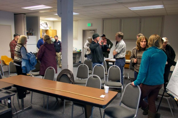
Attendees got a chance to visit with the local DNR staff after the meeting


Concept Plans

Work on the Teneriffe trailhead and other Snoqualmie Corridor facilities is being funded by a $100,000 grant – RCO 14-1841 Snoqualmie Corridor Facilities Design. The initial thinking when applying for the grant was to build a new parking lot uphill from the school bus turn around where hikers currently park.

2014TeneriffeTrailheadConcept

An early trailhead concept from the grant application showed a multi-loop parking lot uphill from the school bus turn around, near the water tower.

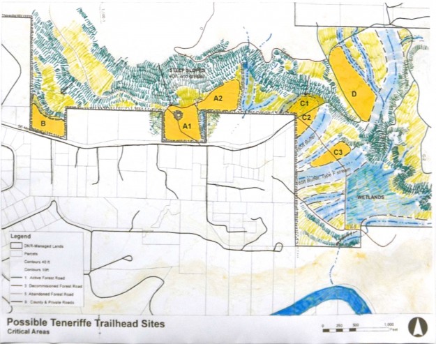
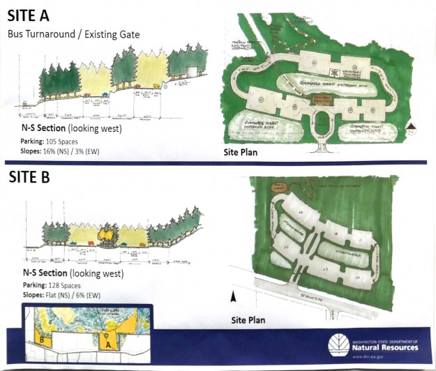
Work done as part of the grant evaluated the possible trailhead locations more carefully and the preferred site shifted to area B shown below. The DNR staff stressed that these are still concept drawings. Actual plans require significantly more study to evaluate wildlife, drainage, traffic and other impacts.
20160126TeneriffeTrailheadPlans03

Locations evaluated for a new trailhead. Relatively flat ground and distance from streams and wetlands are advantageous which made the C and D sites unworkable.

20160126TeneriffeTrailheadPlans02

A comparison of the two most likely sites. Site A was initially favored but turned out to have steeper slopes and more difficult drainage problems than site B, the current front runner.

Related news

01/11/2016 Living Snoqualmie – New Hiking Trailhead, 70 Car Parking Lot Planned for Mt. Si Road, Residents Voice Concerns

Dingford trailhead upgrade

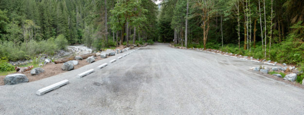
BathroomGenderSymbolsIn October 2013 the Forest Service completed a badly needed upgrade to the Dingford Creek trailhead. When the Middle Fork road was permanently gated here in June 2007 the Dingford trailhead absorbed the users that previously drove farther up the road to Goldmyer Hot Springs or the Dutch Miller Gap trailhead, in addition to those heading up the Dingford Creek trail or down to the bridge over the Middle Fork river to the Middle Fork trail. On sunny summer weekends the parking was often maxed out, and without any restroom facilities the surrounding forest was becoming a smelly mess. Besides a new prefab Cascadian Vault Restroom the parking lot received a thick layer of gravel and concrete parking bumpers. The bumpers increase the capacity encouraging diagonal parking on both sides of the trailhead area.
20131011DingfordUpgrade01

Panorama of upgraded Dingford trailhead

This change did not come out of the blue. It was part of the Access and Travel Management decision 8 years ago in 2005.
The Decision: Dingford Creek Trailhead
In conjunction with the conversion of Road 5600 past Dingford Creek to trail/private road, sanitation facilities will be provided at the Dingford Creek Trailhead. Additionally, the current capacity of 10-12 cars, parking will be expanded to up to a maximum of 30 cars. Cutting and grubbing alder and brush that have encroached into the parking area and into the south shoulder of Road 5600 just prior to the trailhead will accomplish this. Once cleaned, the area will be graded to provide the expanded parking.

20110122DingfordUpgrade02

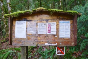
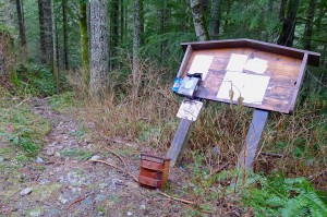
Mossy Dingford Creek trail signboard in January 2011

20111119DingfordUpgrade03

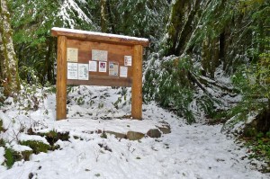
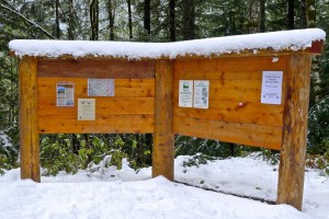
Updated Dingford Creek trail signboard in November 2011


20110122DingfordUpgrade04

Dilapidated Dingford Bridge trail signboard as of January 2011

20111119DingfordUpgrade05

Updated Dingford Bridge trail signboard in November 2011


20120908DingfordUpgrade07

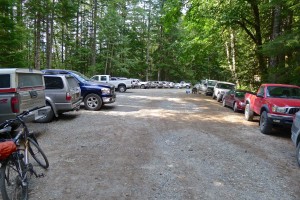
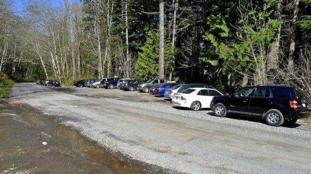
A busy Dingford trailhead with parking maxed out in September 2012

20110122DingfordUpgrade06

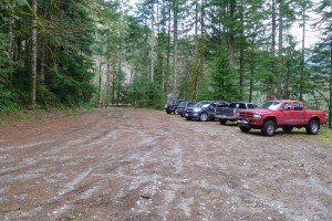
Dingford trailhead parking on a typical winter day before the upgrade


20131003DingfordUpgrade09

Temporary Dingford trailhead parking during trailhead upgrade

20131003DingfordUpgrade08

Temporary road closure for Dingford trailhead upgrade


20131003DingfordUpgrade10

Digging a pit for the badly needed Dingford trailhead restroom

20131003DingfordUpgrade11

The dirt from the toilet pit was trucked down the road and dumped by the gravel wash at the wash of Garfield’s Great Canyon


20131003DingfordUpgrade13

A new restroom in two pieces. The structure is constructed to look like wood, but is actually made of concrete


20131003DingfordUpgrade12

Many truckloads of gravel were brought in to resurface the parking area

20131003DingfordUpgrade14

Dingford trailhead upgrade with lots of new gravel

Mailbox parking problems

20131105ParkingProblems1

20110415ParkingProblems2

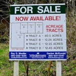
Signboard appears offering land for sale in April, 2011
  

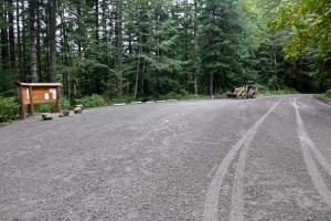
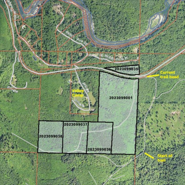
Trailhead parking for Mailbox Peak has been a problem ever since the hike started appearing in guidebooks in ~2007 and it’s popularity started rising. The DNR built a new parking lot off the road in 2013, but it’s not scheduled to open regularly until the new Mailbox Peak trail is completed in 2014. For many years hikers parked in the pullout on the north side of the road, and in the small loop in front of the gate leading to the trail itself. But some trouble started in 2011 when for sale signs appeared for property on either side of the road.
20110501ParkingProblems5

Typical busy day at Mailbox with the north pullout full and overflow parking along the road


20110415ParkingProblems3

Location of parcels

20121102ParkingProblems4

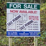
“Sale Pending” in 2012

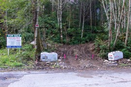
Nothing changed for a year and a half until the property was nearly sold and “Sale Pending” placards appeared. But something clearly went south because the property was not sold and a year later four large concrete blocks were placed in the pullout parking area with messages making it very clear that parking was forbidden. In the next couple weeks an access road to the parcels on the south side was cleared and more concrete blocks showed up.
20130903ParkingProblems6

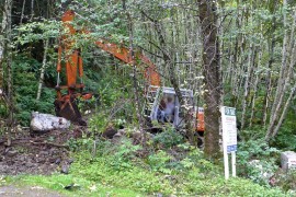
Excavator opening access to property

20130903ParkingProblems7

Cleared road provides access to property for sale


This site does not cover private property issues other than transfers to public status, so no attempt will be made to explain this sequence of events. However, as of February, 2014 the DNR seems to be negotiating to purchase these properties to prevent development from creeping farther up the valley.