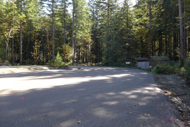
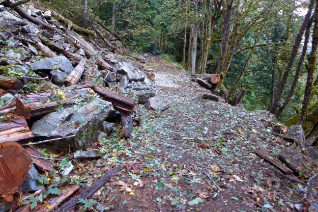
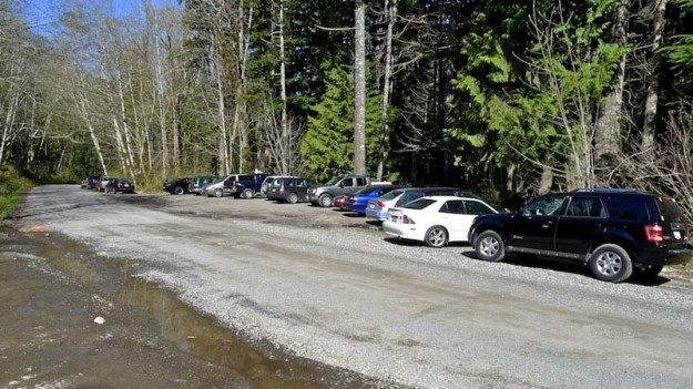
 In October 2013 the Forest Service completed a badly needed upgrade to the Dingford Creek trailhead. When the Middle Fork road was permanently gated here in June 2007 the Dingford trailhead absorbed the users that previously drove farther up the road to Goldmyer Hot Springs or the Dutch Miller Gap trailhead, in addition to those heading up the Dingford Creek trail or down to the bridge over the Middle Fork river to the Middle Fork trail. On sunny summer weekends the parking was often maxed out, and without any restroom facilities the surrounding forest was becoming a smelly mess. Besides a new prefab Cascadian Vault Restroom the parking lot received a thick layer of gravel and concrete parking bumpers. The bumpers increase the capacity encouraging diagonal parking on both sides of the trailhead area.
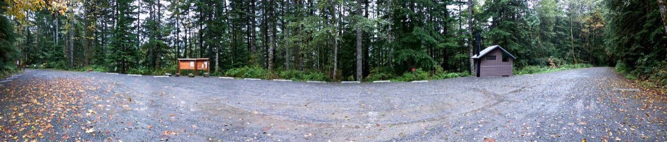
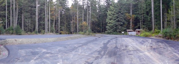
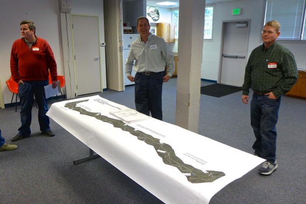
Panorama of upgraded Dingford trailhead
This change did not come out of the blue. It was part of the Access and Travel Management decision 8 years ago in 2005.
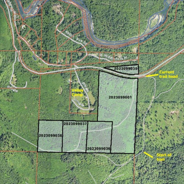
The Decision: Dingford Creek Trailhead
In conjunction with the conversion of Road 5600 past Dingford Creek to trail/private road, sanitation facilities will be provided at the Dingford Creek Trailhead. Additionally, the current capacity of 10-12 cars, parking will be expanded to up to a maximum of 30 cars. Cutting and grubbing alder and brush that have encroached into the parking area and into the south shoulder of Road 5600 just prior to the trailhead will accomplish this. Once cleaned, the area will be graded to provide the expanded parking.
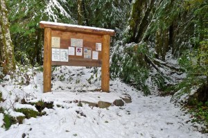
Mossy Dingford Creek trail signboard in January 2011
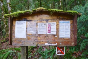
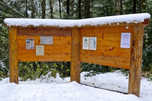
Updated Dingford Creek trail signboard in November 2011
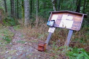
Dilapidated Dingford Bridge trail signboard as of January 2011
Updated Dingford Bridge trail signboard in November 2011
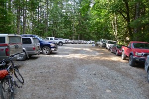
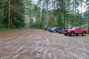
A busy Dingford trailhead with parking maxed out in September 2012
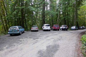
Dingford trailhead parking on a typical winter day before the upgrade
Temporary Dingford trailhead parking during trailhead upgrade
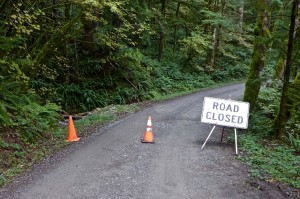
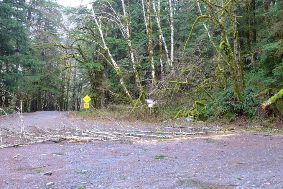
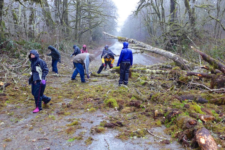
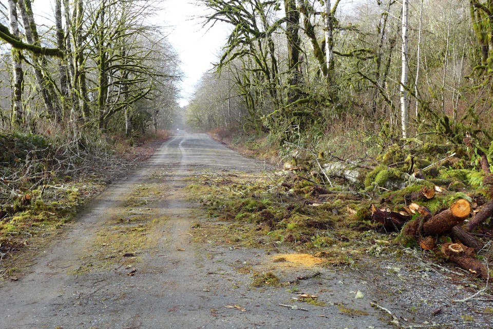
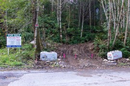
Temporary road closure for Dingford trailhead upgrade
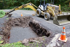
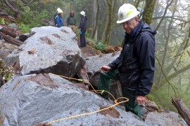
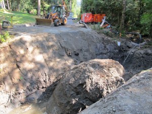
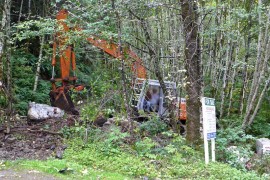
Digging a pit for the badly needed Dingford trailhead restroom
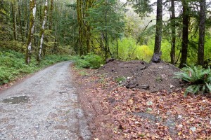
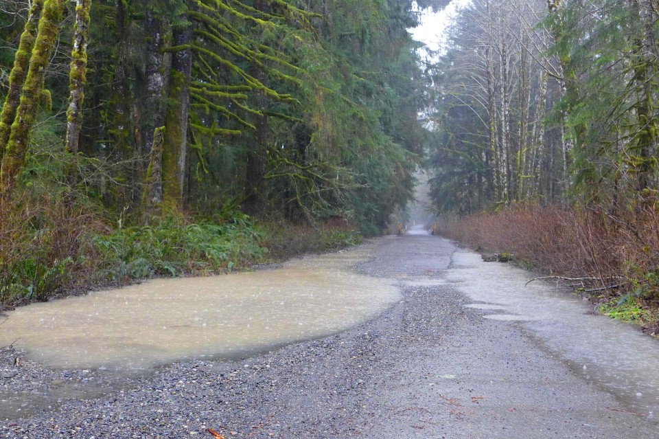
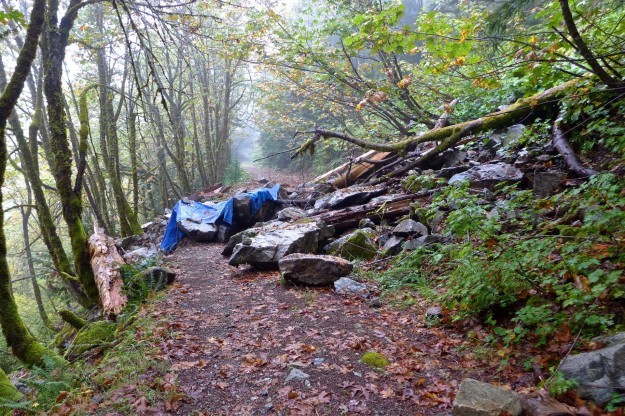
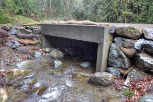
The dirt from the toilet pit was trucked down the road and dumped by the gravel wash at the wash of Garfield’s Great Canyon
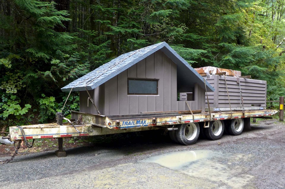
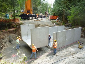
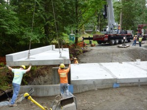
A new restroom in two pieces. The structure is constructed to look like wood, but is actually made of concrete
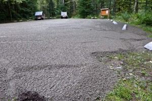
Many truckloads of gravel were brought in to resurface the parking area
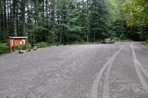
Dingford trailhead upgrade with lots of new gravel